 The Mars Project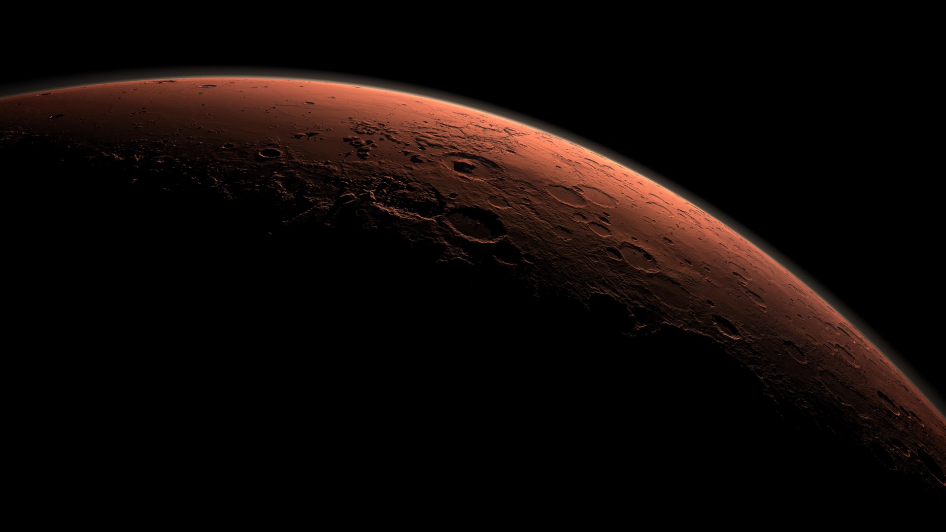
Terraforming worked.
Too well, too fast.
An MMORPG set on a Mars woken up sixty years ago. The technology sent to make it liveable was never switched off: it slipped out of its designers’ hands, and what it builds today is nothing anyone planned. You arrive in orbit, above the result.
What you actually do
You explore regions that do not play the same way, you fight what terraforming left behind, you level your character and your trade. The story moves chapter by chapter, and the world shifts in between.
The wildlife was not in the plan
The organisms released to build a soil kept going without their designers. Today they hunt, and a badly prepared trip ends badly.
Regions that do not play alike
Down low the swarm is everywhere and your abilities reach far. Up high it thins out, so you carry what you need. Up north the sea covers the ruins where the terraforming keys ended up.
No magic, everything has a reason
Your abilities are instructions sent to the swarm, your weapons fire real rounds and your gear wears out. Nothing happens just because it is magic.
What you build stays
Repair a relay and the whole region uses it. Raise a greenhouse and everyone benefits, with your name on it. Until the next flood wrecks it and gives you a good reason to go back with others.
The Wells, every week
Lava tubes and aquifers you descend tier by tier. Deeper means denser and more hostile, with modifiers stacking up and a leaderboard at stake. Nobody has found the bottom yet.
Floods that reshuffle everything
When the swarm concentrates on a region, the wildlife mutates, your abilities turn overpowered and unstable, and rare resources show up. Then it recedes. Nothing is destroyed for good, everything is up for grabs again.
The terrain is not invented
The terrain comes from MOLA elevation surveys published by NASA and the USGS. The canyons, the craters and the northern plain sit where they really sit. What covers them is sixty years of terraforming.
USGS Astrogeology ↗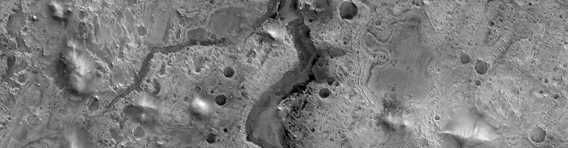
- Highest point
- +21 229 m
- Lowest point
- −8 200 m
- Grid
- 463 m/px
Three steps before orbit
- 01
Create your account
One minute, one activation email, that is all.
- 02
Get the client
The alpha is closed for now: the link will appear on the download page.
- 03
Wake up in orbit
You open your eyes aboard Arcadia. Something is already wrong.

Sign-ups are open
The client is not out yet, but your account can be. Create it now and the devlog will tell you the day it opens.